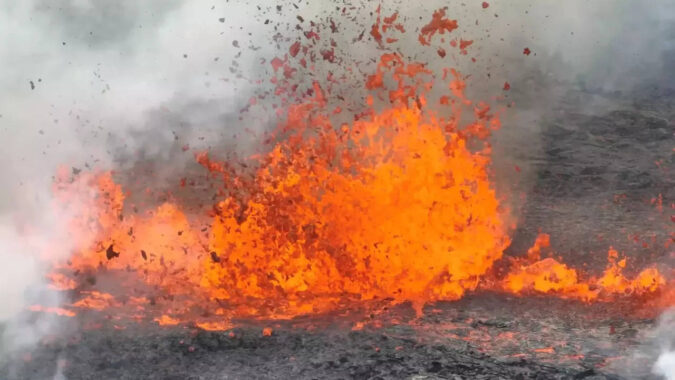
The eruption is in an uninhabited valley near the Litli-Hrútur mountain, some 30 kilometers (19 miles) southwest of the capital, Reykjavik.
The area, known broadly as Fagradalsfjall volcano, has erupted twice in the last two years without causing damage or disruptions to flights, despite being near Keflavik Airport, Iceland’s international air traffic hub. .However, flights are prohibited within a three-mile radius of the volcanic eruptions, except for those carrying scientists and emergency responders.
The latest eruption follows heightened seismic activity in the area.
Thousands of small earthquakes had been recorded in the area in the week leading up to the eruption, signalling that the magma below the ground was moving and an eruption was imminent.
The Icelandic authorities advised against going to the site before they have assessed the situation.
Unverified footage circulating in the social media shows a massive cloud of smoke rising from the ground as well as a substantial flow of lava. The smoke could be seen from the road connecting the capital to the international airport.
Situated on the Mid-Atlantic Ridge, the sparsely populated island nation, home to 370,000 people, has a large quantity of volcanic features. Major eruptions have caused havoc far beyond Iceland in the past.
In 2010, ashes from a volcanic eruption there shrouded much of Europe’s skies, causing a major disruption of air travel over much of the continent. And in 1783, an eight-month-long eruption of a volcanic fissure sent haze as far away as Syria and triggered a famine.
